The use of plant protection products in agriculture imposes risks for the environment and the local water sources. To enable the sustainable use of plant protection products VITO developed the WaterProtect Planning Tool. It gives reliable and detailed advice to mitigate the impact of plant protection products on the local environment and for compliance with the EU Green Deal.
- Bringing data together in a structured way
- Comparable reporting
- Visual evaluation and scenario analysis
- Define most appropriate measures and stewardship
Modern agriculture often relies on the use of pesticides to maintain a high production level. However, a fraction of the pesticides applied to agricultural fields can reach surface waters and groundwater via different pathways and can cause harmful effects to the environment.
Independent and flexible advice
With the WaterProtect planning tool VITO offers you independent and flexible stewardship advice for the responsible and sustainable use of plant protection products in agriculture at local catchment scale.
The tool is offering easy access for all kinds of users. It integrates water monitoring and expert information on best management practices with geospatial data (land-use, hydrography, topography, erosion, …) at local catchment scale.
Complete overview
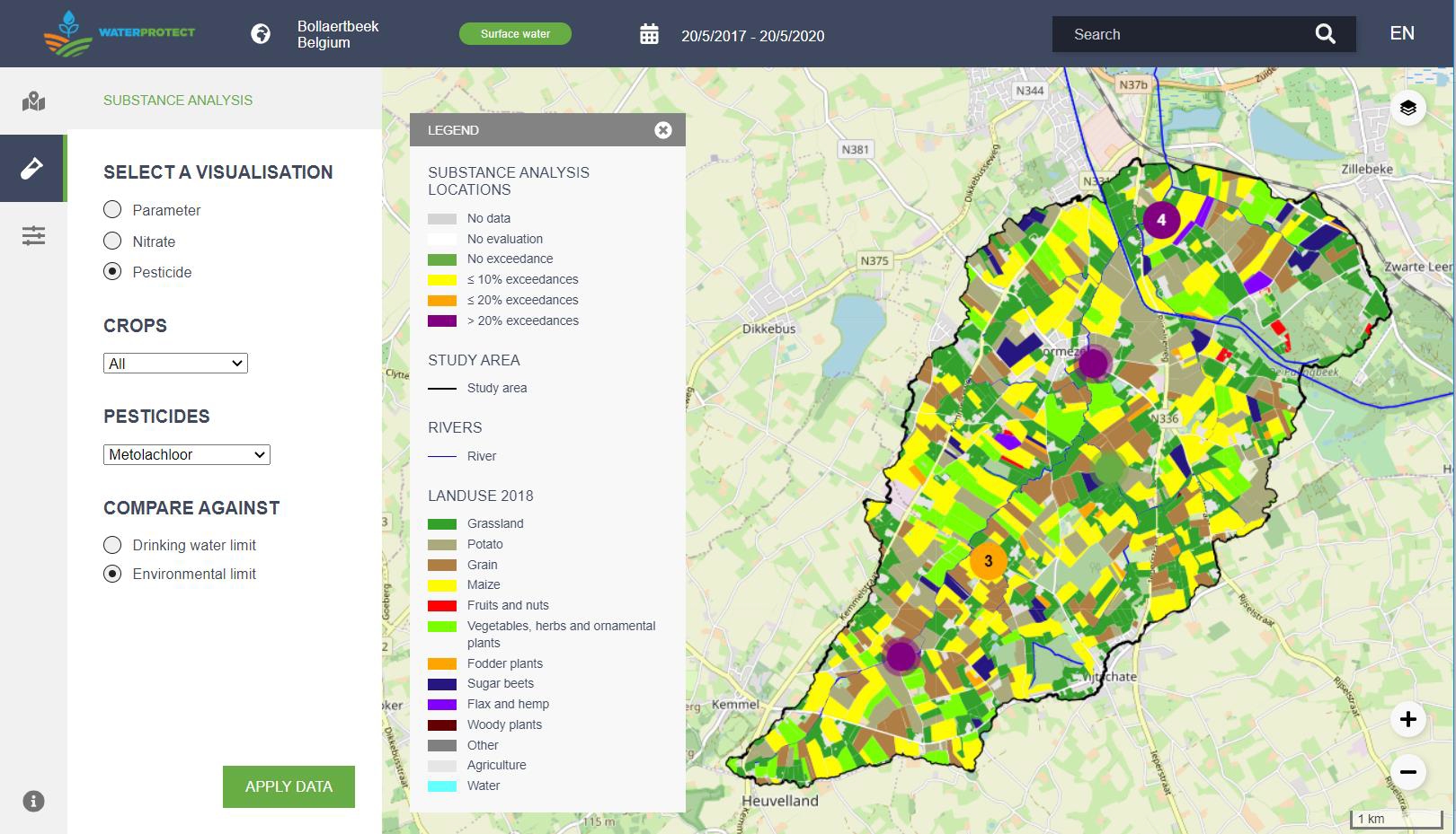
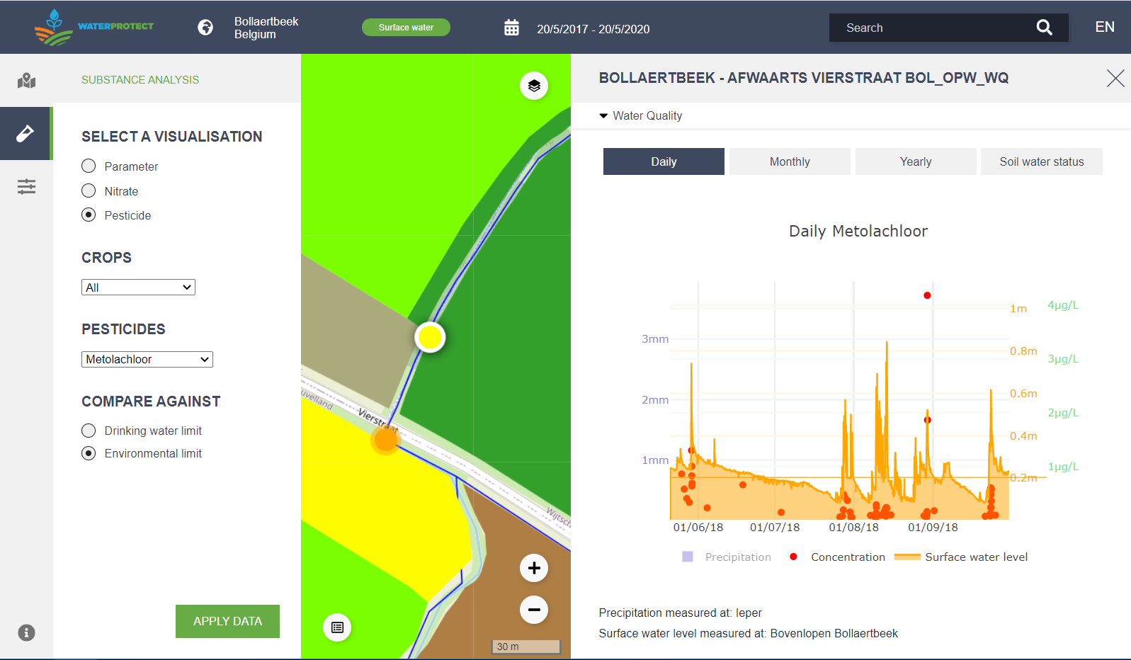
WaterProtect Planning offers its users a complete overview of the concentrations of plant protection products that are monitored in surface water and groundwater for a specific time in a catchment, region or country.
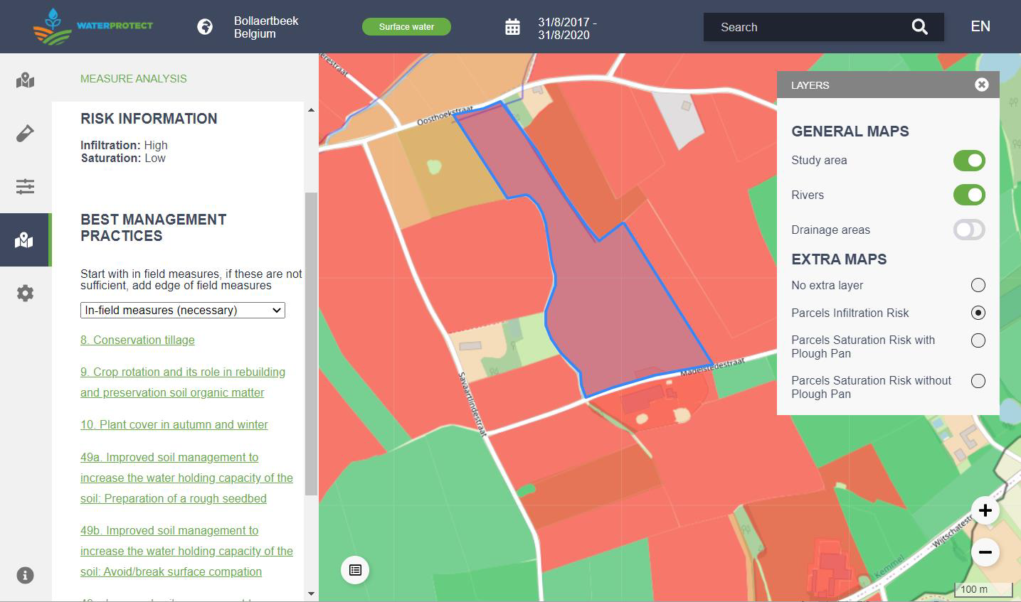
Users can easily switch between a general view of the water quality in a defined area and a detailed view of the monitored substances at specific locations. The WaterProtect Planning tool also offers expert advice on the risks of contamination and potential measures to restore the water quality.
WaterProtect Planning is flexible and customizable for the EU market and for the rules and regulations of the member states.


