The use of plant protection products in agriculture entails the risk of residues leaching to soil and groundwater. Our models and web-based tools provide the basis for higher tier risk assessments for authorities, farmers’ advisory and product stewardship for industry.
GeoPearl Flanders – a regional model for the risk of leaching
A regional spatially distributed model was developed to predict pesticide leaching from agricultural areas in Flanders. Calculations start from the agricultural use map for Flanders, the map with depth of phreatic groundwater level and climate data (rainfall, evapotranspiration) for a reference period of 20 years. The model is a GIS extension of the PEARL model used at the EU level as one of the standard models for pesticide registration.
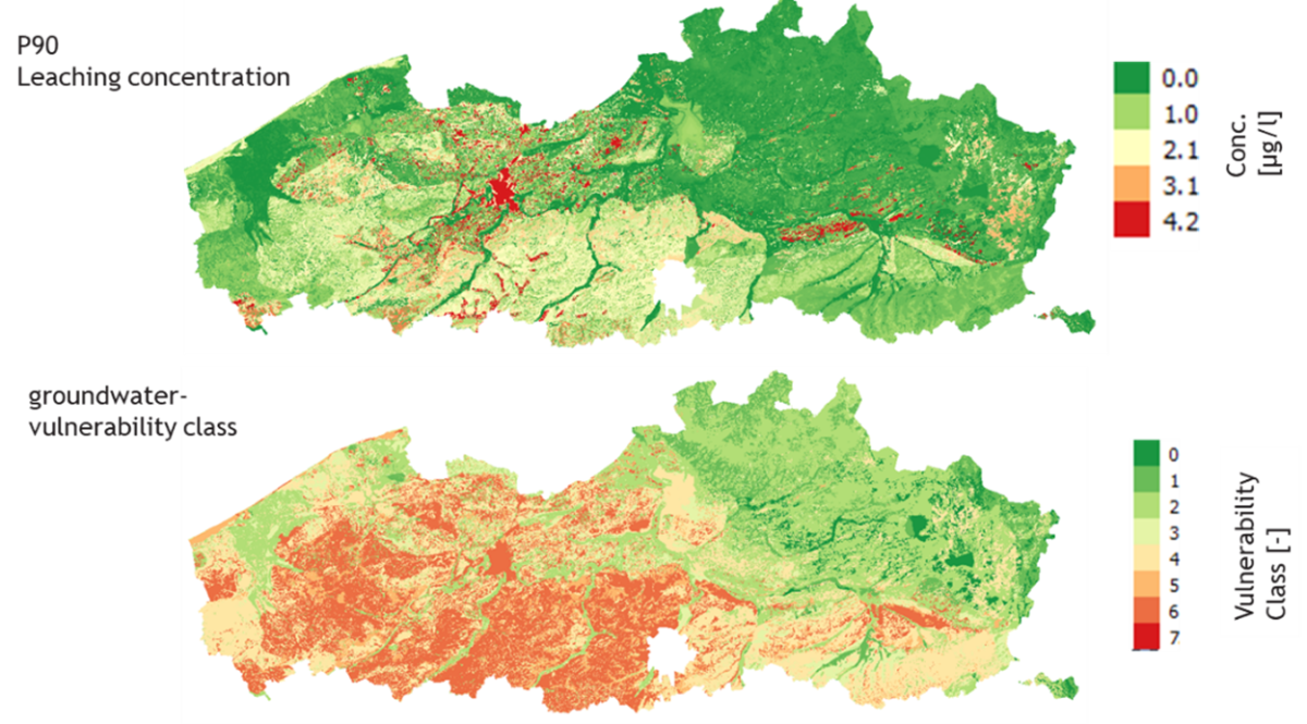
The results are maps with the geographically distributed leaching concentration of a pesticide. This output allows to derive vulnerability maps of leaching of pesticides to groundwater. The GeoPEARL model is parameterized for Flanders in 1434 unique combinations of soil properties, climate and groundwater depth. Leaching is calculated for a 20-year period for each 50 x 50 m gridcell in Flanders.
The GeoPEARL model is further used to develop a tool for groundwater vulnerability in Flanders, where leaching calculations are combined with indices for subsurface properties to develop substance-specific vulnerability maps for Flanders. Furthermore, the tool can be used at the local scale in combination with groundwater calculations to define critical zones in the capture area of drinking water wells.
PERSAM model for the European Food Safety Authority (EFSA)
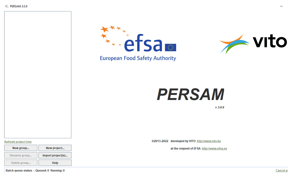
VITO assisted with the development of the PERSAM (Persistance in Soil Analytical Model) tool for the European Food Safety Authority (EFSA). EFSA is responsible for developing the methodology for risk assessment for pesticides before they can be brought to the EU market. The PERSAM tool predicts environmental concentrations of plant protection products in soils, in accordance with the guidelines for the risk of persistence in soil from the experts of the EFSA Pesticide Panel.
A tiered approach for the risk assessment of persistence of plant protection products in soil is proposed where all tiers aim to assess the same exposure assessment goal, with each higher tier requiring more data and effort but providing a more realistic Predicted Environmental Concentration (PEC) value. PERSAM generates reports intended for regulatory submissions. PERSAM is used both by industry preparing the submission dossier as by the authorities to check the model results provided in the submission.
The PERSAM tool belongs to EFSA and is hosted by the JRC as part of the EFSA/JRC co-operation.
Interactive map for vulnerable areas in Belgium
Based on our multidisciplinary team’s experience, we developed a web tool that maps vulnerable areas for the use of plant protection products . The tool combines the depth to groundwater (Flanders), the depth to karstic layers (Wallonia) and the delineation of groundwater protections zones for drinking water production to identify the parcels on which application of, in this case, bentazone based productions is allowed or prohibited.
The web tool can be consulted by farmers to screen their fields. In vulnerable areas the use of plant protection products is discouraged because of the presence of shallow groundwater, shallow karstic rock or a groundwater protection zone for drinking water.
The tool developed by VITO is available as an interactive map offered by industry to users where they can find out where the application bentazone based products such as Basagran SG or Corum is allowed in Belgium according to the legal restrictions. This interactive map (in Dutch and French) is available on the BASF website.
